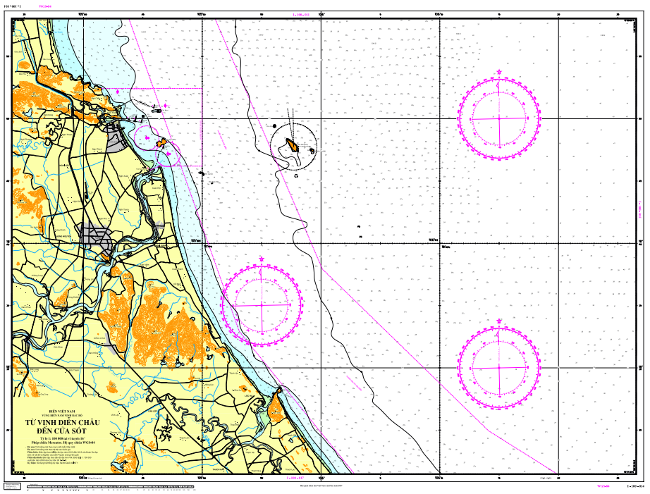
| CHART I-100-014 |
| Details |
| Chart number: |
I-100-014
|
|
| Chart title: |
From Dien Chau Bay to Sot Estuary
|
|
| Ratio: | 1:100.000 | |
| Geog Location: | Nam Vịnh Bắc Bộ | |
| Lower right corner: | Latitude: | 18o58'00'' |
| Longitude | 106o26'30'' | |
| Lower left corner: | Latitude: | 18o21'30'' |
| Longitude | 105o34'00'' | |
| Projection: | Mecator | |
| Publacation date | 2011 | |
| Edittion Number: | ||
0
0 đánh giá
5
0
4
0
3
0
2
0
1
0
Chưa có đánh giá!


