About VHO
History begin
Organizational Structure
Functions and duties
Committee leader
The authorities
Members
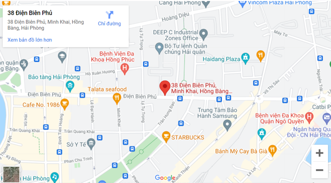
Contact
Products and services
Update charts
Paper charts
Electronic charts
Maritime Publications
Research product
Undersea feature names
Severe weather - Hydrology
Weather
24 hour mainland weather
Sea weather 24 hours
Weather for the next 10 days
Weekly sea weather assessment
Comment on the sea weather in the month
Hydrology
Short-Range Forecast
Medium-Range Forecast
Dangerous hydrology
Flooding
Flash floods
Land subsidence
Drought
Salinization
Long term forecast
Water source
Thematic hydrology
Marine Hydrology
Tide
Rising water
Wave
Flow
Topic news
Dangerous weather
News
Activity VHO news
Activity IHO news
Activity news of IHO
Science and technology
International cooperation
Album
Documents
Documents of IHO
Documents of VHO
Documents DDBD
TIDE FORECAST NHA TRANG
Latitude:
12° 15'N
Longitude:
109° 12'E
Enter date:
Not found tide forecast in 28/04/2025!
JavaScript chart by amCharts
Series
Zoom Out
Độ cao
L
L
Chart
Chart created using amCharts library
BẢNG ĐỘ CAO THỦY TRIỀU TỪNG GIỜ
HOURLY WATER ALTITUDE(m)
Hour
0
1
2
3
4
5
6
7
8
9
10
11
12
13
14
15
16
17
18
19
20
21
22
23
Height
BẢNG THỜI GIAN VÀ ĐỘ CAO NƯỚC LỚN, NƯỚC RÒNG
NL1
NR1
NL2
NR2
HH mm
Height
HH mm
Height
HH mm
Height
HH mm
Height
JavaScript chart by amCharts
Apr 2025
S
M
T
W
T
F
S
30
31
1
2
3
4
5
6
7
8
9
10
11
12
13
14
15
16
17
18
19
20
21
22
23
24
25
26
27
28
29
30
1
2
3
4
5
6
7
8
9
10